|
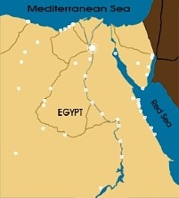
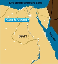
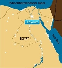
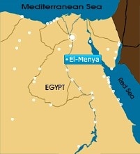
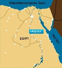
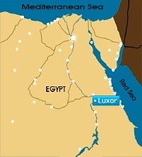
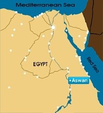
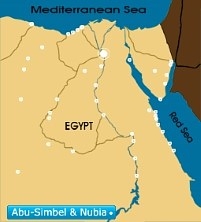
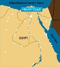
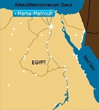
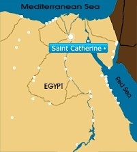
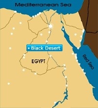
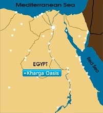
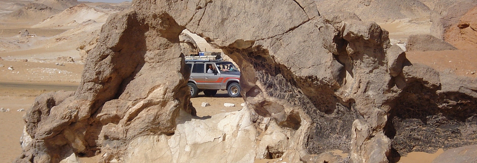
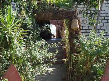
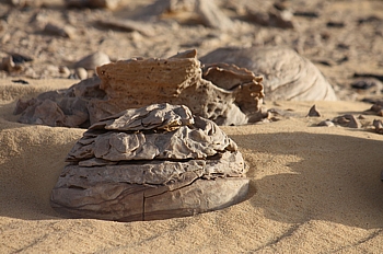
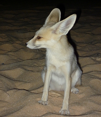
| Travel through miles and miles of golden dunes. See uncanny rock formations and rest at precious oases- take a safari into the Western Desert. The Western Desert is 262, 000 square miles of dunes, canyons, oases, mountainous plateaus, and valleys that span most of land west of the Nile Valley. Once you reach the White Desert, sand and black rocks give way to the awe inspiring sight of a magical landscape full of strange limestone concretions that are shaped like giant mushrooms, fjords and icebergs. Quench your thirst at any of the five oases. Do not miss a chance to see what inspired the religion of the Ancient Egyptians; unravel a layer of the mystery- tour the desert. The Western Desert covers an area of some 700,000 km2, thereby accounting for around two-thirds of Egypt's total land area. This immense desert to the west of the Nile spans the area from the Mediterranean Sea southwards to the Sudanese border. The desert's Jilf al Kabir Plateau, at a mean altitude of some 1000 m, constitutes an exception to the uninterrupted territory of basement rocks covered by layers of horizontally bedded sediments forming a massive plain or low plateau. The Great Sand Sea lies within the desert's plain and extends from the Siwa Oasis to Jilf al Kabir. Escarpments (ridges) and deep depressions (basins) exist in several parts of the Western Desert, and no rivers or streams drain into or out of the area. The government has considered the Western Desert a frontier region and has divided it into two governorates at about the twenty-eighth parallel: Matruh to the north and New Valley (Al Wadi al Jadid) to the south. There are seven important depressions in the Western Desert, and all are considered oases except the largest, Qattara, the water of which is salty. The Qattara Depression, which includes the country's lowest point, encompasses 19,605 square kilometers (7,570 sq mi), which is similar to the size of Lake Ontario. It is largely below sea level and is 133 meters (436 ft) below sea level at the lowest. Badlands, salt marshes, and salt lakes cover the sparsely inhabited Qattara Depression. Limited agricultural production, the presence of some natural resources, and permanent settlements are found in the other six depressions, all of which have fresh water provided by the Nile or by local groundwater. The Siwah Oasis, close to the Libyan border and west of Qattara, is isolated from the rest of Egypt but has sustained life since ancient times. The Siwa's cliff-hung Temple of Amun was renowned for its oracles for more than 1,000 years. Herodotus and Alexander the Great were among the many illustrious people who visited the temple in the pre-Christian era. The other major oases form a topographic chain of basins extending from the Faiyum Oasis (sometimes called the Fayyum Depression) which lies 60 kilometers (37 mi) southwest of Cairo, south to the Bahariya, Farafirah, and Dakhilah oases before reaching the country's largest oasis, Kharijah. A brackish lake, Birket Qarun, at the northern reaches of Al Fayyum Oasis, drained into the Nile in ancient times. For centuries sweetwater artesian wells in the Fayyum Oasis have permitted extensive cultivation in an irrigated area that extends over 1,800 square kilometers (695 sq mi). The Oasis of Egypt The word oasis comes into English via Latin: oasis from Ancient Greek: ὄασις óasis, which in turn is a direct borrowing from Demotic Egyptian. The word for oasis in the later attested Coptic language (the descendant of Demotic Egyptian) is wahe or ouahe which means a 'dwelling place. And now you can see the famous Egyptian oasis and places to visit in The Western Desert |
|
|
|
|


All rights reserved © Egyptian Trip - 2013
Website design & development by
Rania
Ebrahim